
Donuimun Museum Village
This map shows the course of Manchocheon stream, which I've been researching a lot here and there. I had never been able to see before how it curves through this area and then crosses the road. Well, travelling uphill at least.

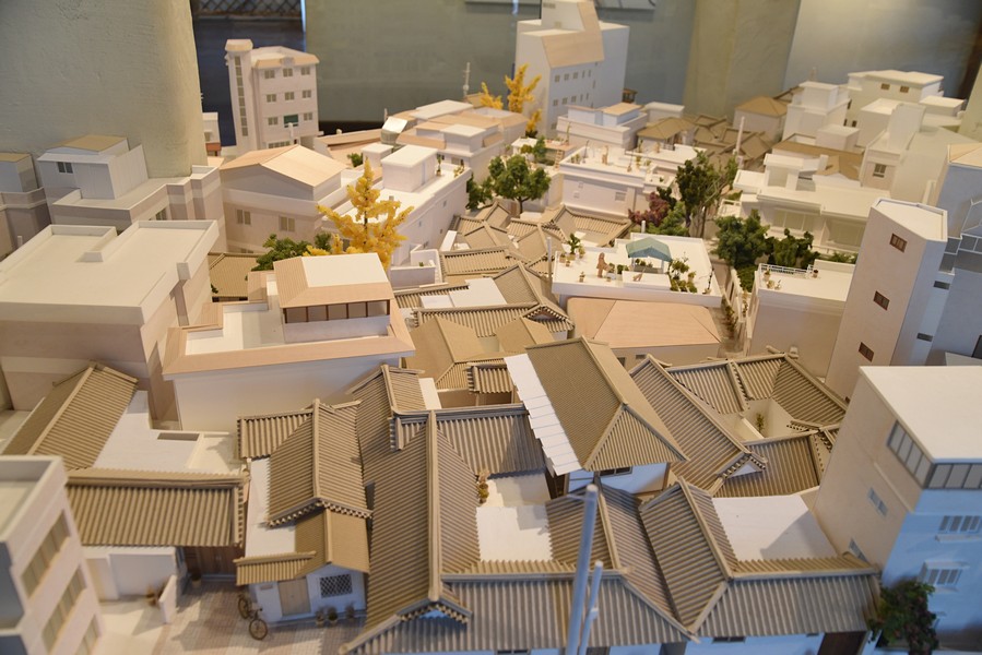
A closer look at the curve of the river. Notice the green hanok in the armpit of the river, with the one wing that curves inward, labeled "bike shop" in Korean.

This is a diorama showing the same building. When I first saw it I thought "what a ridiculous shape for a Hanok; why are they making this shit up?" Turns out that street wasn't always a street. This is something I never noticed and never would have noticed using my own techniques.

Someone dropped a map over the glass, and the only way to get it out was to drag it out from under the glass.

This is how I remember the area before demolition...more or less. I don't see anything clearly Japanese built here.

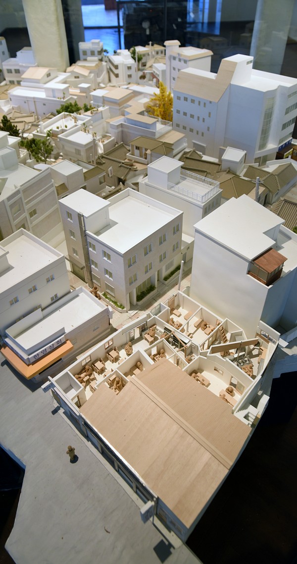

Well, here's a museum exhibit that shows the changing area. It has had continuity up until a couple years ago when they destroyed the stream and built highrises overtop.

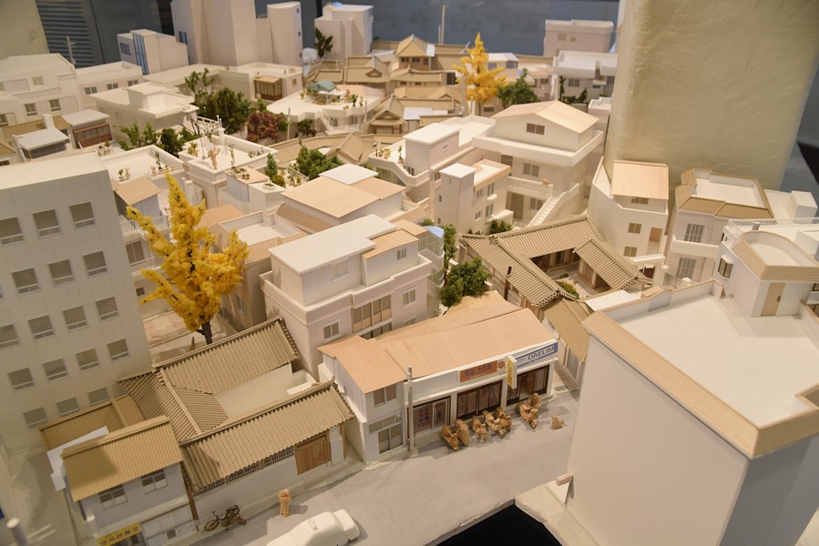
Here's a lively sketch of museum village.

I got on top of one of the new buildings in the complex. The Hanoks below are also equally new.
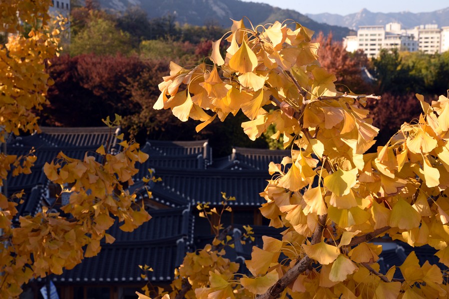
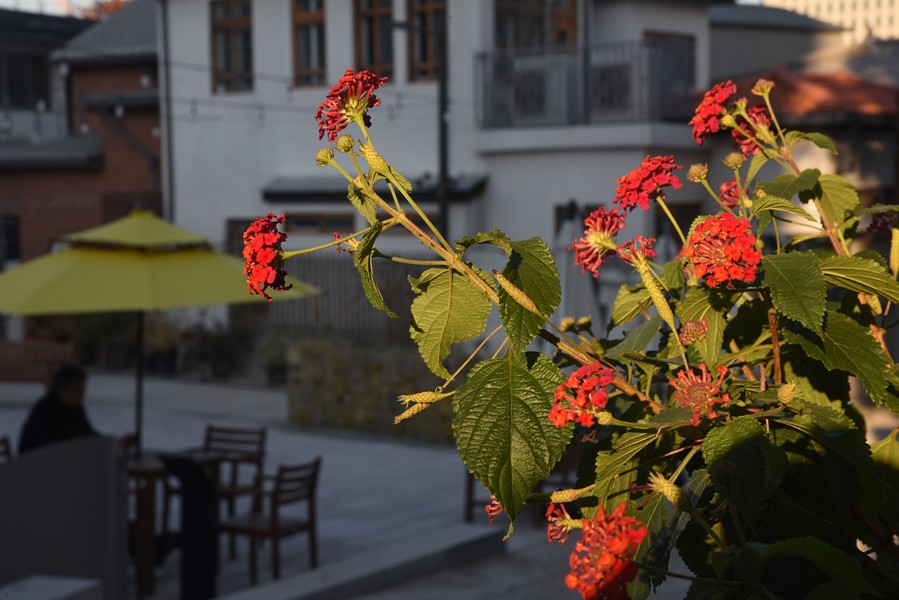
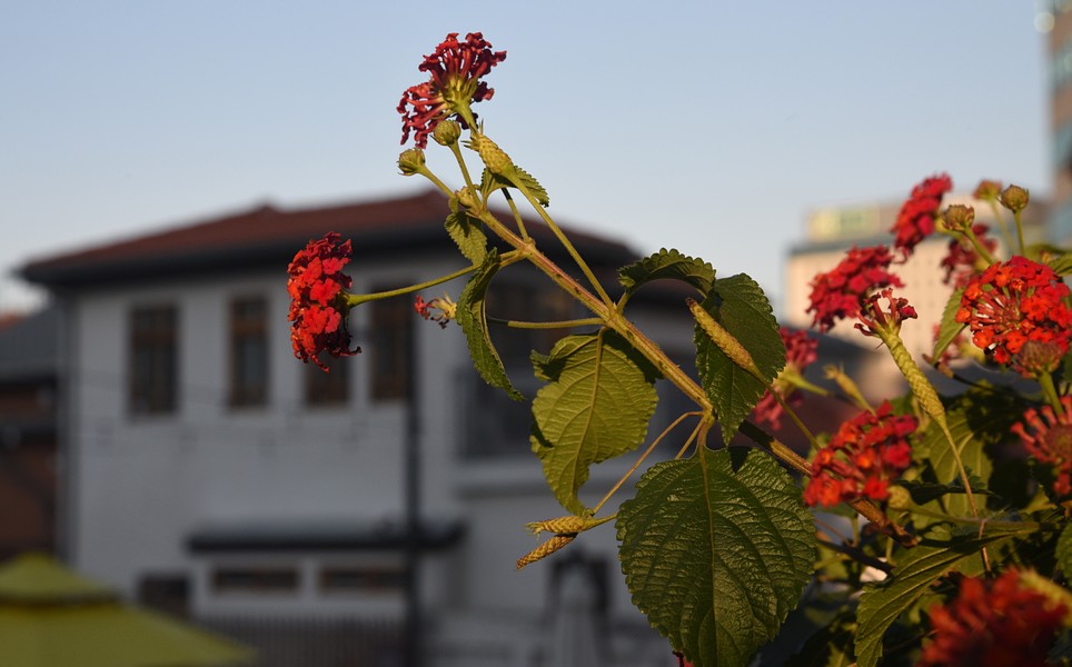
Some flowers.
Please remember that these photos are all copyrighted to me. If you want to use them in any way, there's a 90 per cent chance I'll give you my permission, and be able to give you a copy with a higher DPI.Copyright Daehanmindecline 2018